
Virtual Information Forum
Regarding The
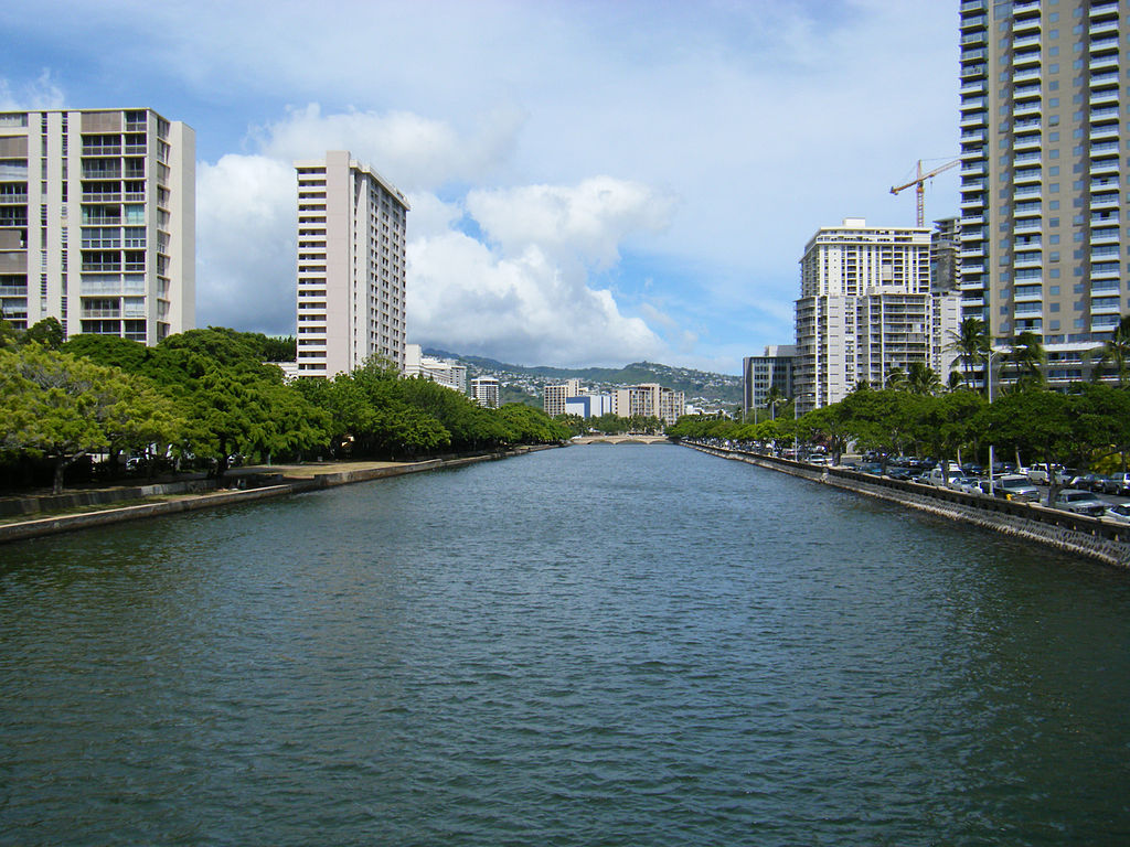
Ala Wai Flood Risk Management Reevaluation Study
Thursday, January
20, 12:00 – 1:00 PM
Join the online webinar via Cisco Webex platform at:
https://usace1.webex.com/meet/AlaWai
1/18/22: The U.S. Army Corps of Engineers (USACE), in partnership with the City and County of Honolulu (CCH), will hold a virtual Information Forum for the community regarding the Ala Wai Flood Risk Management General Reevaluation (GR) Study to provide an update to the study, unveil new communication tools, and respond to questions and concerns brought up at the last round of public meetings held in November 2021.
• Click here for the News Release on the Information Forum
• Additional information regarding the study, the public engagement plan, and communication tools will be available at https://www.honolulu.gov/AlaWai.
BACKGROUND and CONTEXT
The previously released public engagement strategy included four engagement opportunities for the community throughout the study. The first round of community engagements for the general reevaluation study occurred on Nov. 10 and 13, 2021.
The second round of originally-proposed engagements will discuss a more focused set of potential solutions under consideration at that stage; it is anticipated to occur during summer 2022 prior to the release of the Draft Report. The third round of meetings, currently slated for fall 2022, will discuss the Tentatively Selected Plan as presented in the Draft Report. The final round of originally-proposed meetings in 2023 will review the Recommended Plan prior to release of the Final Report.
The public engagement strategy has been refined based on feedback received during the initial public workshops to provide additional opportunities for interested parties to provide input into the study process and the development of alternative flood risk management plans. Fundamental elements of the revised public engagement plan will be discussed at the meeting.
Historic Context
The Ala Wai Canal was listed on the Hawai‘i Register of Historic Places in 1992. The canal was built between 1921 – 1928, initially as a channel with natural banks. Constructed lava rock walls were added in 1934-35 to protect the banks by using federal funds available through employment and public works programs during the Great Depression. In the 1950s, the walls were reinforced with concrete. Features associated with both development periods contribute to the historic significance and would be affected by the flood control project.
Other historic features associated with the Ala Wai Canal that have the potential to be affected by the project include the Kalākaua Avenue Bridge (1929), which is a rare example of an Art Deco style bridge in the closed spandrel arch design, and the McCully Street Bridge (1959), which is a concrete slab type with metal horizontal rails. Both bridges are designated as “high preservation value” by the Hawai‘i Department of Transportation.
Further reading:
- Historic American Engineering Report for the Ala Wai Canal
- HHF commented on the U.S. Army’s Engineering Documentation Report (August 2020).
YOUR VOICE MATTERS
In addition to the public meetings and workshops, the public can engage the study team via several continuous, virtual, asynchronous opportunities.
- Interested parties can submit comments via a fillable comment form on the project website (https://www.honolulu.gov/alawai/contact), as well as by sending an email directly to AlaWai@honolulu.gov.
- The Crowdsource Reporter app will remain available online until the end of January for the public to provide input on potential solutions to flooding in the watershed. A new management measure tracking spreadsheet and FAQ update will be unveiled and discussed at the Jan. 20 Information Forum.