The Hawai‘i State Capitol 50th Anniversary Commemoration
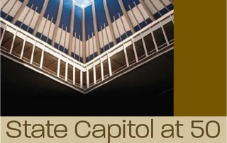
The 50th Anniversary Commemoration of the Hawai‘i State Capitol It was a poignant and heartfelt celebration commemorating the 50th Anniversary of the Hawaii State Capitol Building on the morning of March 15. The event brought citizens, legislators, young and old out to hear Senator Brian Taniguchu, Chair of the 50th Anniversary Task Force; Hula Hui o Kapunahala o Nuuanu YMCA; Governor David Ige; Ronald Kouchi, President, State Senate; Scott Saiki, Speaker, State House of Representatives; and Adam Jansen, Hawaii State Archivist (and his young assistant) commemorate this milestone event. ABOUT THE CAPITOL The Capitol was dedicated on March 15, 1969 on the tenth anniversary of the passage of the Statehood bill by Congress. Governor John Burns used his opening address to the legislature to expound on the openness and spirit of Hawai‘i: “The open sea, the open sky, the open doorway, open arms and open hearts—these are the symbols of our Hawaiian heritage…It is by means of this striking architecture of this new structure that Hawai‘i cries out to the nations of the Pacific and of the world this message: `We are a free people…we are an open society…we welcome all visitors to our Island home.' ” ABOUT THE COMMEMORATION DATE: Friday, March 15, 2019 TIME: 10:00 a.m. PLACE: Rotunda State Capitol Building, 415 S. Beretania Street, Honolulu, Hawai‘i COST: Free and open to the public. The Anniversary Commemoration will celebrate this public space that is designed to foster democracy, provide opportunities for civic engagement and support the work of people coming together to govern and address societal concerns. TASK FORCE – FIFTIETH ANNIVERSARY OF THE HAWAII STATE CAPITOL – [...]


