More than 130 people joined us on December 10, 2021 for a presentation and panel discussion with Senior Archaeologist Lokelani Brandt of ASM Affiliates, Professor Kerri Inglis, and students from the University of Hawai‘i at Hilo History Department.
View the video replay below to hear the inspiring discussion sharing the context, process, and purpose of the Story Map, along with reflections from the students themselves. You can also view the story map, Ua Hilo ‘ia i ke Aho a ke Aloha – Braided with the cords of love, Held in the bond of affection, by clicking the button below.
We are excited to present the Hilo Story Map and share the beauty, magic, and history of Hilo.
Sharing the Multilayered History of Hilo
from the Wailuku to Wailoa River
Presentation and Panel Discussion
When: Friday, December 10, 2021
Time: 12:00-1:15 PM
Where: Virtual (via Zoom)
Cost: Free, registration required
Historic Hawai‘i Foundation is excited to continue our Story Map Series!
Historic Hawai‘i Foundation has partnered with Cultural Surveys Hawai‘i, the University of Hawai‘i at Hilo, History Department, ASM Affiliates, and Lyman Museum to create the Hilo Story Map. Students from UH Hilo are contributing to the research and content of the map as part of course curriculum under the direction of History Professor Kerri Inglis. In addition, three student interns are contributing research, contextual essays, and photography.
In celebration of the launch of the Hilo Story Map on December 10th, we are thrilled to host a presentation and panel discussion with archaeologist Lokelani Brandt, Professor Inglis, and a student panel. The discussion will share the context, process, and purpose of the Hilo Story Map, along with reflections from the students themselves relaying how this project has impacted their view of Hilo, themselves, and their own sense of place.
We hope you will join us on December 10th!
The goal of the Story Map series is to take a deep dive into the multilayered history of historic districts in Hawai‘i. Each story map will include various components such as: the area’s history, historic and contemporary images, cultural practices and traditions, myths and legends, maps, and descriptions. Key elements are community collaboration, youth engagement, and sharing diverse, inclusive, and multicultural histories of place.
View the Capital Historic District and Hale‘iwa Story Maps by clicking on the hyperlink. There will be a live link to the Hilo Story Map on December 10th.
Panelists
“Recalling the old stories is one part of maintaining a connection to our past. The history and heritage of a place are realized when we retell and internalize its stories. As we move forward and are required to make decisions about how we will utilize a place, knowing the cultural history allows us to make informed decisions that are founded on the generational layering of knowledge and wisdom that are place specific.”
Lokelani Brandt
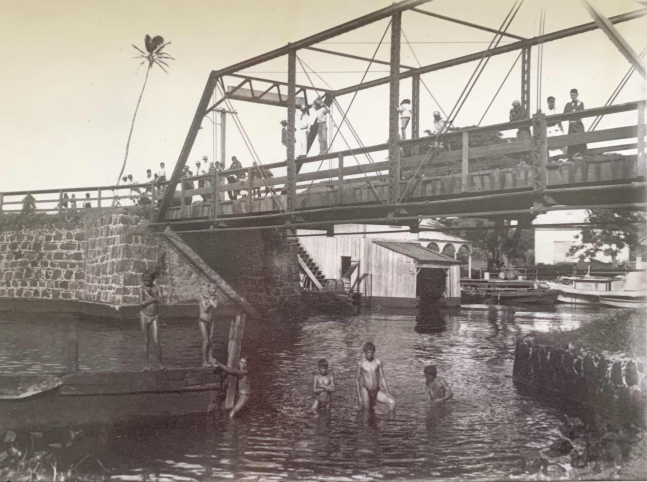
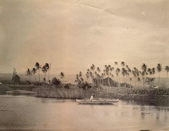
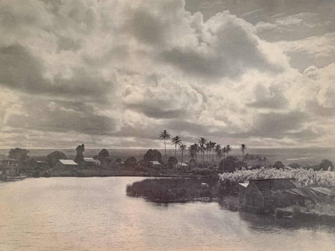
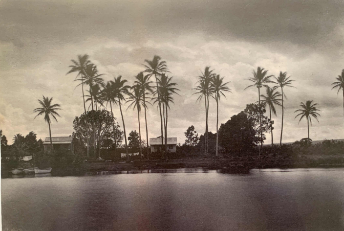
Photo Captions: Top – Wailoa River looking towards Puna (87.17.62); Bottom Left – Wailoa River with bridge (L86.4.552); Bottom Middle – We suspect that this photograph was not taken in Pi‘opi‘o, but in fact, was take somewhere along Waiolama, somewhere in the ahupua‘a of Kuku‘au. The image however provides an important visual record of what the area looked like before Native bulrush (Nānaku) can be seen growing along the bank of the stream along with beds of taro and coconut (34.1590); Bottom Right – Wailoa river looking mauka (80.21.68).
All photos are courtesy of Lyman Museum.
The Hilo Story Map is supported by the Hawai‘i State Foundation on Culture and the Arts (SFCA) through appropriations from the Legislature of the State of Hawai‘i or grants from the National Endowment for the Arts (NEA).

A special mahalo to our program partners!
