
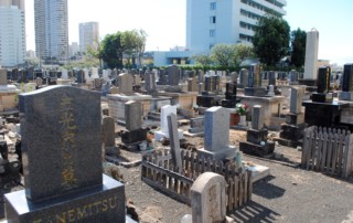
Yee King Tong Cemetery
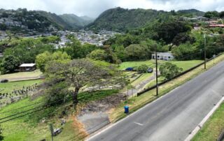
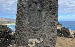
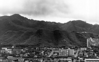
Address 352 Auwaiolimu Street, Honolulu, HI 96813 TMK 220140090000 SHPD Historic Site Number N/A Abstract Yee King Tong became an association in 1889 and offered members a burial plot on the slopes of Punchbowl in return for a membership fee, initiating the creation of the Yee King Tong Cemetery. The cemetery was one of several Chinese cemeteries established in this area in the late nineteenth century and is significant under Criterion A for its associations with the Chinese in Hawai‘i. It is significant, too, under Criterion C as a good example of a Chinese cemetery active in Hawai‘i from the late 19th through the 21st century. The Cemetery represents typical tombstone designs of the period, and the presence of many headstones written in Chinese reflects the ethnic origins of the cemetery as does the existence of a bone house. Preferred funerary practices dictated that after death, people’s remains be held in containers in a bone house until circumstances enabled them to be disinterred and sent back to China for burial in the village of one’s birth.
